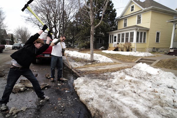
A March-ending blizzard blinded the northwest corner of Minnesota with more than a dozen inches of blowing snow and winds topping 50 miles per hour Monday.
"It's blowing so hard it's hard to even tell how much we're getting," Marshall County Sheriff John Novacek said. "This month is going out like a lion."
Hwy. 1 from Warren to the North Dakota border was closed and the sheriff was requesting no travel amid reports of a semitrailer truck and two other vehicles stranded in the middle of the road.
"And those are only the ones we know of," he said. "So it's not good, let's put it that way."
Pennington County dispatcher Dave Carlson, one county to the southeast, said visibility in Thief River Falls was down to a block or two, but no injuries had been reported as winter-weary residents wisely stayed out of trouble.
"We'll see what happens with April," Carlson said. "March wasn't worth two cents."
A tornado was spotted in Yellow Medicine County and two incidents of damage were reported by police working southeast of St. Leo.
Forecasters were predicting a fresh 5 inches of snow by daybreak Tuesday atop more than a foot that fell Monday in and around Grand Forks, N.D. National Weather Service forecasters said winds will remain in the 20 mph range Tuesday after reaching 50 mph Monday.
School officials on both sides of the border canceled classes Monday: Fargo and West Fargo in North Dakota, and the Dilworth-Glyndon-Felton district in Minnesota.
In the Crookston area east of Grand Forks, Polk County officials urged everyone off the roads. In fact, travel conditions deteriorated so quickly Monday afternoon that the county pulled all of its snowplows off the roads "due to operator safety concerns," according to a Sheriff's Office statement.
It wasn't all bad news, though: the state's Pollution Control Agency said the wintry weather's arrival will blow away smoke drifting in from Kansas wildfires that prompted a health alert Monday morning for parts of southwestern Minnesota.
Even after things calm down, the Weather Service said, that quadrant of the state won't see 40 degrees for the next several days.
Windchill also remains part of the Minnesota vocabulary, with "feels like" readings in the upper single digits across most of the northern strip of the state from Hallock to Flag Island on Monday.
Closer to the Twin Cities, a second day of around 60 was expected to give way to rain, sleet and a half-inch of snow by Tuesday morning.
Temperatures were predicted to drift back into their below-average pattern, with the upper 30s on tap for Tuesday and nothing more than the low 40s for the rest of the week — and still more snow in the late-week forecast. A plowable 2 to 5 inches could descend late Thursday and into Friday.
No fooling.
curt.brown@startribune.com • 612-673-4767 pwalsh@startribune.com • 612-673-4482

12 gorgeous new picture books for children this spring
Metro Transit steps up safety efforts with monitors displaying bus behavior for all to see
What we know about the Sen. Nicole Mitchell burglary allegations so far
Man shot by deputy in Montrose allegedly said during earlier clash he'd rather die than be arrested

