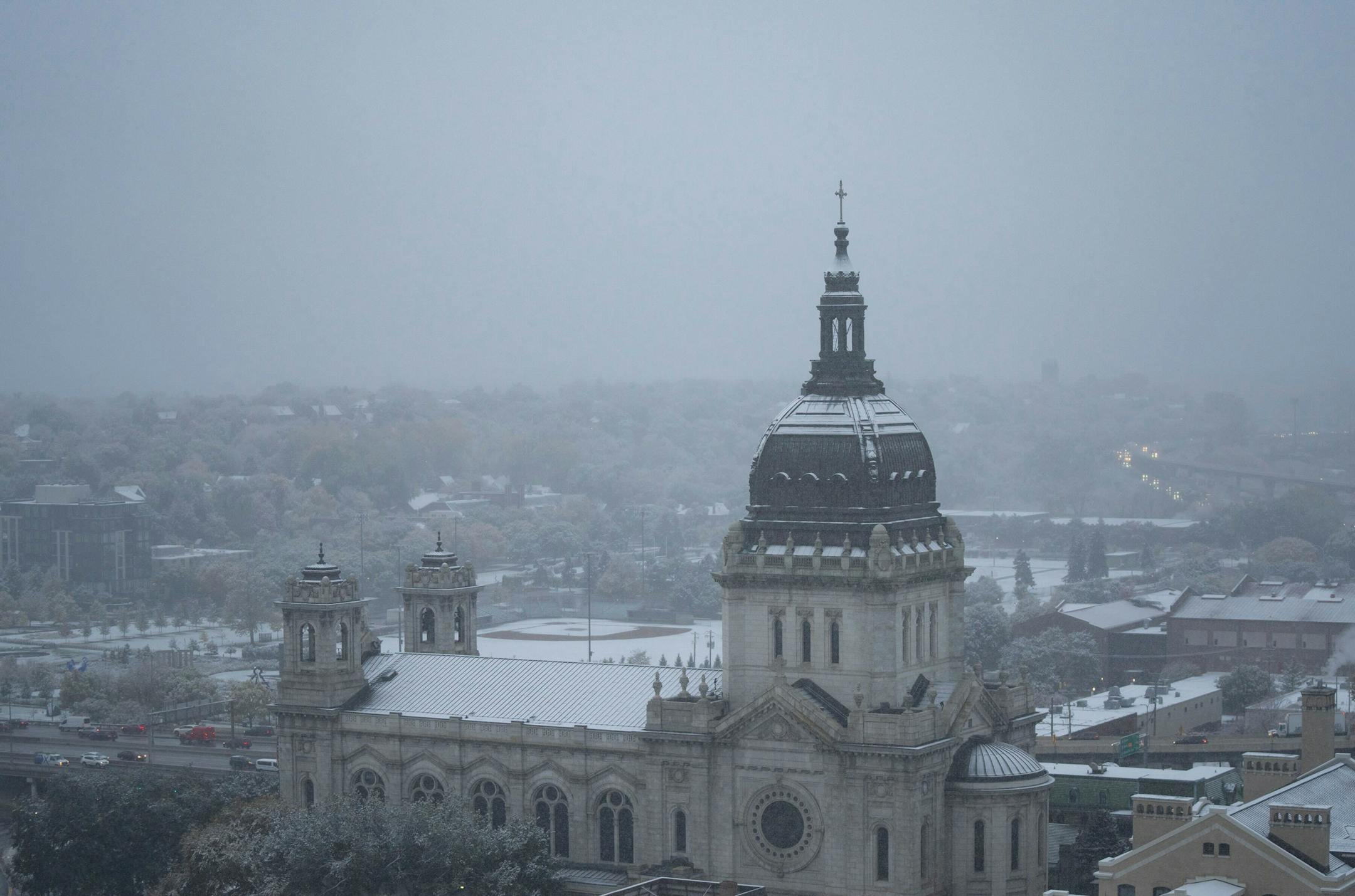
The Twin Cities recorded its first measurable snowfall of the season Friday morning, a delight for some and an opportunity for others to grouse about an undeniable omen of the coming winter. The precipitation whitened lawns but didn't stick to roads and sidewalks.

The mercury also fell to the 32-degree freezing point in the metro area for the first time this fall, according to the Minnesota Climatology Office. The snow-freeze combo comes just three days after the metro saw a high of 80 degrees.

"That's crazy," said meteorologist Chris O'Brien with the National Weather Service. "The seasons are battling. People love it or hate it."

Officially, the Minneapolis-St. Paul International Airport had picked up 0.4 inches of snow by 9 a.m. while 0.3 inches had fallen at the Weather Service's office in Chanhassen. The most snow fell just north of Stillwater where 1.8 inches was recorded as a weak system moved across east central Minnesota, O'Brien said.

"It was so exciting to wake up to the little bit that stuck," wrote Briana Hernandez on the National Weather Service's Facebook page "This got me pumped for winter!"

Others were not amused.

"Okay, going back to bed," Michael Zalar wrote on Facebook.

Snow started falling about 5:30 a.m. Weather service observers rushed out to get an accurate measurement before it melted, O'Brien said. Readings often are taken hourly.

Friday was one of the earliest fall snowfalls of a tenth of an inch or more recorded at MSP. That number has been bested only 10 other times since records have been kept, with the earliest being the 0.4 inches that fell on Sept. 24, 1985, the Weather Service said.

"This is early, but not super unusual," O'Brien said.

Still, the snow caught some off-guard.

"I had to use my kayak paddle to clear my windshield because I didn't have my scraper in the car yet," Ali Lozoff said in a tweet. "Happy October."

The average date for the first 1-inch snowfall is Nov. 18. The earliest that happened was Sept. 26, 1942, the Weather Service said.

Friday's snow set a record for Oct. 14. The 0.4 inches officially beat the 0.3 inches that fell in 2018, according to weather records.

"We were surprised to see how much fell," said Pete Boulay with the Minnesota State Climatology Office. "It was a pretty snow and we were hoping it would count."

Not only did it count, but it delivered half of October's normal snowfall in one event, Boulay added.

Early October snow doesn't mean a long tough winter is ahead, Boulay said. From 1884 through 2021, the Twin Cities have seen at least one October day with measurable snow 47 times.

"Winters immediately following a snowy fall can go in nearly any direction, so we should not read too much into those early-season snows," a report from the climatology office said.

But it will feel a lot like winter over the next few days, O'Brien said. Another round of snow and rain is possible Sunday. By Monday, highs will struggle to reach 40 degrees and temperatures Monday night will tumble into the mid 20s, O'Brien said.

For those seeking warmth, the mercury will rebound into the 50s by Tuesday and Wednesday, he said.

.