Did modern Minnesota roads evolve from Native American trails?
Listen and subscribe to our podcast: Via Apple Podcasts | Spotify | Stitcher
Minnesota has the fifth-largest network of roads in the nation, much of it built over the last century. But some of those roads have been providing passage for a whole lot longer.
Bryan Evarts wondered if any roads that drivers traverse today evolved from trails created by Native Americans, who populated the land long before white settlers arrived enmass in the mid-1800s. He posed the question to Curious Minnesota, the Star Tribune's reporting project fueled by great reader questions.
Records are scarce, but there are several examples of modern roads that parallel or follow original Native trails — including some busy corridors like Interstate 94. The evolution of those corridors followed a period when the U.S. government forcefully removed tribes from the state or onto reservations.
Native Americans' primary mode of travel in Minnesota traditionally was the canoe, and some of the earliest trails filled in the gaps between lakes and rivers, said Charlie Lippert of the Mille Lacs Band of Ojibwe's Department of Natural Resources. Eventually some of those trails morphed into modern day roads. One example, he said, is a stretch of Hwy. 27 east of Lake Mille Lacs — roughly between Kettle River and McGrath.
Portages that the Ojibwe of the time made through the swamps and rugged terrain of the Boundary Waters Canoe Area en route to Lake Superior gave rise to the Gunflint Trail, said Bonnie Schudy with the Chik-Wauk Museum in Grand Marais. That path is now Cook County Road 12 — Gunflint's official name — a winding 57-mile paved road running northwest from Grand Marais to lakes near the Canadian border.
"Waterways were an integral part of the routes in the Native route system," Lippert said. It's a primary reason why many of today's roads are not far away from water, he added.
Even some roads in the present day metro area have their roots in Native American trails, said retired MnDOT traffic operations engineer Joel Katz, who wrote the book "From Footpaths to Freeways."
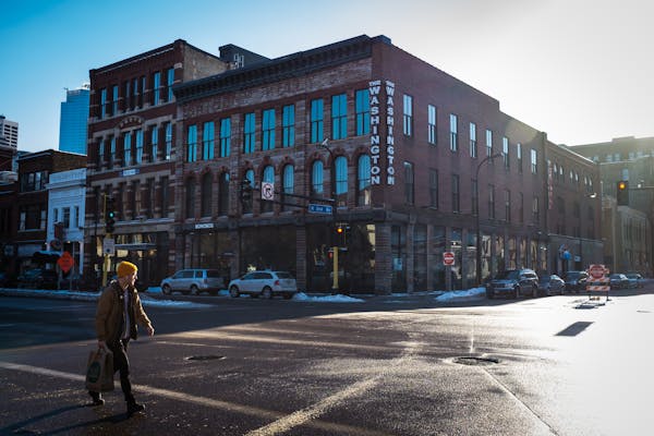
"Absolutely for I-94 and Snelling [Avenue]," Katz said in an interview. "They became state highways."
Katz based his statement on research gleaned from the journal of Rev. W.T. Boutwell, describing the U.S. Expedition to Lake Itasca in 1832. Boutwell recounted trails Indigenous people used as he joined them on their way to a summer hunting ground. The routes are close to where Snelling Avenue runs through St. Paul and Roseville, Katz said, as well as I-94 and St. Anthony Avenue's path through St. Paul.

Animal paths through the deep woods, swamps, marshes and prairies that dot the southern Minnesota landscape laid the foundation for some early Native American trails, said Bob Sandeen, a retired research coordinator with the Minnesota Historical Society. Those trails were later used by traders lugging furs around the state on ox carts, he said, and some ultimately became paved roads.
Fur traders bringing goods from the Red River Valley to southern Minnesota often followed in the footsteps of Dakota and Ojibwe people, according to the book "The Red River Trails." Modern day travelers can follow the general route of one of those trails, from Le Sueur to Shakopee, on Hwy. 169.
But traders saw water as an impediment, and often detoured from Native trails to bypass deep water and grass-choked lakes — or simply to find a faster route.
Modern roads that originated from Native trails have often been rerouted to meet changing needs, Lippert said. Settlers turned a Native trail that ran between Bayport and Taylors Falls into a larger route that became known as the "Military Road." The road, constructed in the 1850s, aided the expansion of white settlement on land that had been taken from Indigenous people. It eventually morphed into a variety of highways, including modern day Hwy. 95, Hwy. 61 and Interstate 35.
As the new roads were built, they moved further "away from the original Native route," Lippert said. In a few cases the roads still follow original Native trails, he said, but only in short sections.
Though not a roadway, one of the best preserved Native paths today is a six-mile portage within Savanna Portage State Park in northeastern Minnesota. Long used by Native Americans as a canoe portage, the route became a thoroughfare for missionaries and fur traders, according to the National Park Service.
If you'd like to submit a Curious Minnesota question, fill out the form below:
Read more Curious Minnesota stories:
How did Minnesota's indigenous people survive the extreme winters?
When did wild bison disappear from Minnesota?
What is the best place, time to see northern lights in Minnesota?
What does ski-u-mah mean and how are you supposed to pronounce it?
How safe is it, really, to walk on the iced over lakes in Minnesota?
Why is Minnesota the only mainland state with an abundance of wolves?