Does water really only flow out of Minnesota — not into it?

Listen and subscribe to our podcast: Via Apple Podcasts | Spotify | Stitcher
A peculiar factoid tucked into an old official highway map of Minnesota has stuck with Mike LaFave for many years: water only flows out of Minnesota, but not into it.
LaFave spent 20 years on the road working for a labor union, often driving between Minnesota and Washington, D.C. The more time he spent behind the wheel, the more unusual it seemed that no rivers flowed into his home state.
"In all these other states, water is flowing in from every which way," said LaFave, who is now retired. "And it just stayed with me, that we were kind of the center of the water universe for North America."
He asked the Star Tribune to explore the oddity as part of its Curious Minnesota project, a community-driven series fueled by inquisitive readers.
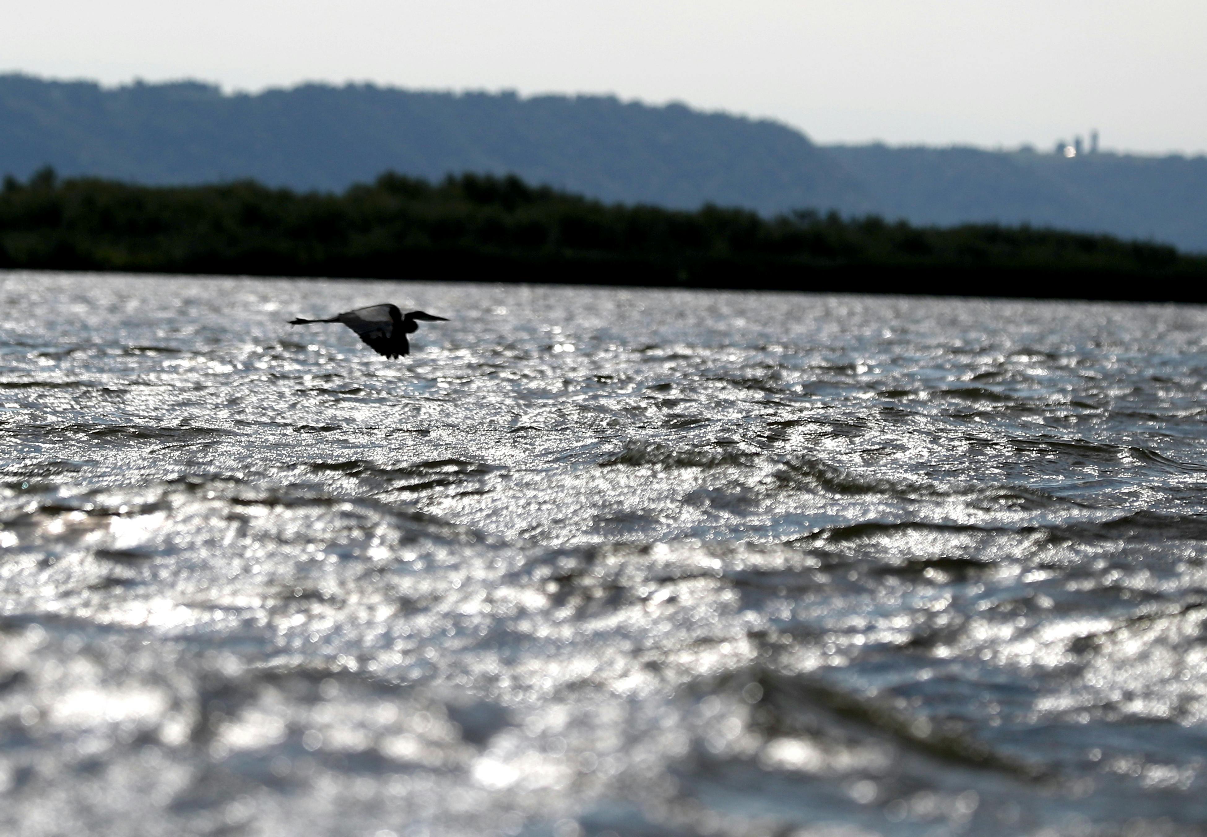
The map was telling the truth. In every corner of the state, rivers carry Minnesota's water to faraway destinations.
The Mississippi River drains south to Iowa and ultimately the Gulf of Mexico. The Red River of the North and Rainy River deliver water northward to Hudson Bay and the Arctic Ocean. And the St. Louis River feeds Lake Superior, which drains to the Atlantic Ocean.
A rare intersection
It's all because water flows downhill. While nobody would claim that Minnesota has a particularly high elevation, it does rise above everything around it, said Harvey Thorleifson, director of the Minnesota Geological Survey.
As the continent formed over billions of years it happened to create a meeting place, where three river basins touch, Thorleifson said.
"We are at the middle of the continent," Thorleifson said. "And on this side of the Rocky Mountains, that is ... where all excess water from precipitation either flows north, south or east."
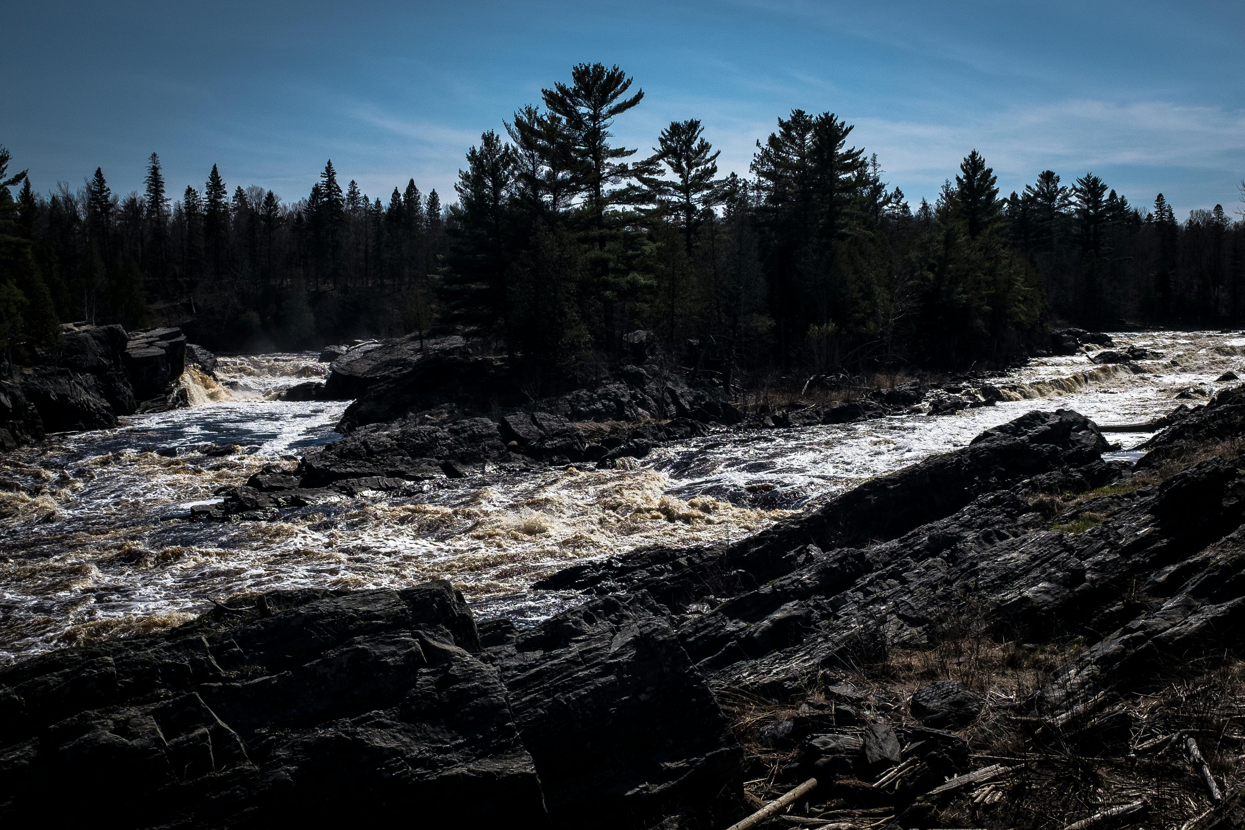
Continental divides are the high points of vast — and sometimes imperceptible — slopes that span entire states and regions, ultimately directing water to an ocean. Two of those divides meet in Minnesota's Iron Range, at the Hill of Three Waters near Hibbing.
The Laurentian Divide sends rainfall either north toward the Arctic Ocean or south to the Gulf of Mexico, depending on which side of the crest it falls. The St. Lawrence divide carries some of the water that would otherwise flow north or south into Lake Superior instead.
There are a few exceptions, such as small rivers and creeks that dip into Minnesota before joining larger border rivers.
This continental divide intersection, pushing water into three drainage basins, is rare but not unique to Minnesota. It happens in western New York, Alberta, and in northern Montana as well.
Where does Minnesota get its water?
If no significant amount of water flows into the state, then where does it all come from to fill Minnesota's nearly 12,000 lakes, 70,000 miles of streams and 11 million acres of wetlands?
"Precipitation," Thorleifson said. "It is virtually all precipitation — rain and snow."
Wisconsin and Michigan also have very few, if any, rivers that flow in from outside the state. It puts those in the Upper Midwest in the unusual position of having nobody to blame for river pollution but themselves. Pollution problems compound farther downstream, as nutrients from agriculture and municipal wastewater systems meet up with other impaired waters and tributaries.
Nutrient pollution from Minnesota has contributed to the dead zone in the Gulf of Mexico and helped spur toxic algae blooms in Lake Superior, for example.
The problems are worse along the Red River and its tributaries. The Red River basin has become one of the most altered and artificially drained landscapes in the world, according to the U.S. Geological Survey and the Minnesota Pollution Control Agency. Minnesota and North Dakota send 2,600 tons of phosphorus each year northward to Lake Winnipeg — which is fed by the Red River — causing massive algae and water quality problems.
The continental divides that send a region's water heading in the same direction also help explain how tiny streams become major rivers.
The Mississippi, which begins as little more than a small creek that leaks out of Lake Itasca, is truly made great because of the St. Croix, the Minnesota, the Ohio, the Missouri and all of the other rivers and tributaries that empty into it, Thorleifson said.
"We get the rivers started from the rain and snow that lands on Minnesota, but most of the water joins in well downstream," he said.
If you'd like to submit a Curious Minnesota question, fill out the form below:
Read more Curious Minnesota stories:
Is Minnesota's tiny Lake Itasca the true source of the Mississippi River?
How do cities make Mississippi River water safe to drink?
Why don't farms water their crops at night?
What happens to all of the de-icing fluid sprayed on planes at MSP airport?
Is it safe to swim in Twin Cities rivers, or are they all too polluted?
When you flush a toilet in the Twin Cities, where does everything go?
Correction: This article has been updated to state that there are rare exceptions to the principle that water only flows out of Minnesota.