"5 planets will align in the night sky this week. Here's how to see them"

"Keep an eye to the sky this week for a chance to see a planetary hangout. Five planets — Mercury, Jupiter, Venus, Uranus and Mars — will line up near the moon. Where and when can you see them? The best day to catch the whole group is Tuesday. You'll want to look to the western horizon right after sunset, said NASA astronomer Bill Cooke. The planets will stretch from the horizon line to around halfway up the night sky. But don't be late: Mercury and Jupiter will quickly dip below the horizon around half an hour after sunset. The five-planet spread can be seen from anywhere on Earth, as long as you have clear skies and a view of the west. "That's the beauty of these planetary alignments. It doesn't take much," Cooke said. Do I need binoculars? Maybe. Jupiter, Venus and Mars will all be pretty easy to see since they shine brightly, Cooke said. Venus will be one of the brightest things in the sky, and Mars will be hanging out near the moon with a reddish glow. Mercury and Uranus could be trickier to spot, since they will be dimmer. You'll probably need to grab a pair of binoculars."

See more from PBS HERE:

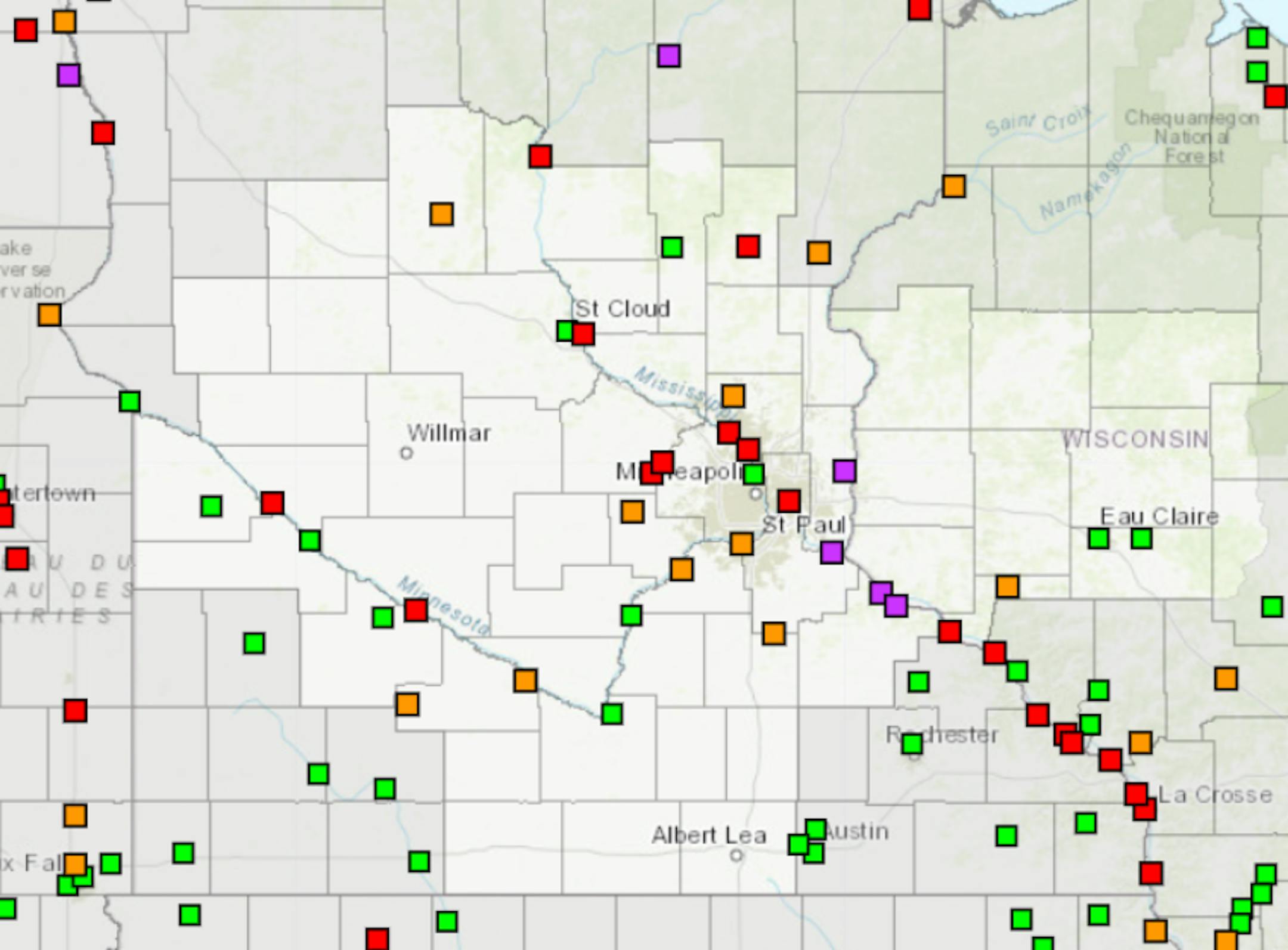
Light Snow Later Tuesday in Northern MN

A weak wave of energy will cross through Minnesota later Tuesday with light snow chances for the northern half of the state. Snowfall amounts will be minimal at best and will stay generally north of the Twin Cities.

Snowfall Potential Tuesday

The snowfall potential through 7AM Wednesday will be very minimal across the northern half of the state. There could be a minor coating for some with up to an inch or so maximum for a few locations across the northern tier of the state this.

Status of Spring

"March 20, 2023 - Spring leaf out continues to spread north, arriving several days to weeks earlier than average (the period of 1991-2020) in much of the Southeast, lower Midwest, and mid-Atlantic. PIttsburgh, PA is 17 days early. Parts of SE Colorado and Kansas are days to a week late. The West is a mix of early and late. Southwest UT is days to over a week late and Portland, OR is 2 days late. Spring bloom has also arrived in southern states, days to weeks early in the Southeast, and days to over a week late in the Southwest. Nashville, TN is 25 days early, Las Vegas, NV is 8 days late. How typical is this year's spring? Darker colors represent springs that are unusually early or late in the long-term record. Gray indicates an average spring. Parts of the Southeast, lower Midwest, mid-Atlantic, and New York City area are seeing either the earliest spring leaf on record or a spring that only occurs once every 40 years (dark green). Parts of Arizona are seeing a spring that only occurs this late once every 40 years (purple). Spring bloom is latest on record across parts of the Southwest including California and Arizona, and earliest on record in parts of the upper Southeast including Tennessee, Georgia, South Carolina, and North Carolina."

See more from the National Phenology Network HERE:

9th Longest Stretch of at Least 1" Snow Depth at MSP

According to the National Weather Service, we just ended the 9th longest stretch of at least 1" of snow on the ground at the MSP Airport. The impressive stretch started back in December of 2022 and officially ended at 1AM on Sunday, March 26th. The longest stretch was back in the winter of 1964-1965 when there was at least 1" of snow on the ground for 136 days.

Snow Depth

As of Sunday, March 26th, the MSP Airport dropped to a Trace of snow on the ground, which ended the 9th longest stretch of at least 1" snow on the ground. Much of Minnesota and into northern Wisconsin has a pretty significant snowpack. Nearly 2ft to 3ft of snow is on the ground near Lake Superior and more than 3ft on the ground near across parts of the U.P. of Michigan.

8th Snowiest Season at MSP

With more than 81" of snow, the MSP Airport is currently sitting at the 8th snowiest winter on record! We need less than 4" of additional snow to get into the top 5, but would need almost an additional 18" to get to the top spot.

Seasonal Snowfall

Many locations are nearly 2ft to 3ft above average snowfall for the season from Sioux Falls to the Twin Cities and north toward Duluth. MSP was sitting at 81.2" of snow for the season (since July 1st), which is the 7th snowiest start to any season on record and nearly 47" above average. Duluth has seen 125" of snow this season and the snowiest start to any season on record there and the 6th snowiest season on record.

Spring Flood Outlook

"No real changes in the last two weeks... The late March updated outlook for spring flooding in the upper Mississippi, Minnesota, and Chippewa River basins remains well above normal, particularly on the Mississippi from St. Paul downstream. The very high snowpack for this time of year has remained in place over the last two weeks. There is some good news! The 7-10 day temperature and precipitation pattern is favorable for a slow melting period through the end of March (details later in the briefing). As always, the threat of seeing major flooding will still depend on what kind of rainfall/temperature patterns we get as we move into April."

See more from the NWS Twin Cities HERE:

The Illusive 50F For Minneapolis

According to the Twin Cities National Weather Service, we have not yet hit 50F this March. If we fail to do so, this will be the first time we haven't hit 50F in March since 2001.

Extended Temperature Outlook

The NBM extended temperature outlook for Minneapolis shows a string of 30s and 40s through the end of the month and into early April. Interestingly, the last time we hit 50F or warmer was back on November 26th (53F). On average, we hit our first 50F on March 4th. Last year, we hit our first 50F on March 15th (51F). There is a chance that we could see our first 50F at some point in early April.

Twin Cities Weather Outlook For Tuesday

The weather outlook for the Twin Cities on Tuesday, March 28th will be cooler than average with highs only warming into the 30s. Skies will be cloudier in the afternoon with a chance of a light mix, mainly north of the the Twin Cities.

Weather Outlook on Tuesday

Temps across the region on Tuesday will warm into the 20s and 30s across much of the state, which will be around -10F to -20F below average. Some locations in far northwestern Minnesota will only warm into the 10s, which will be nearly -20F to -25F below average. There is a chance for a light wintry mix across the northern half of the state during the day as well.

Meteograms For Minneapolis

The hourly temps through the day Tuesday will start in the lower 20s in the morning and will warm into the mid/upper 30s by the afternoon. There will be a mix of clouds and sun with northwesterly winds turning more southwesterly in the afternoon. Winds will also increase with gusts approaching 15mph during the second half of the day.

Hourly Feels Like Temps

Feels like temps on Tuesday will start in the low/mid 10s in the morning and will warm to around the freezing mark in the afternoon.

Weather Outlook

Weather conditions will still be fairly quiet across the Upper Midwest through midweek. Late week could feature a larger storm system with areas of rain and snow close to home. Meanwhile, strong to severe thunderstorms will be possible in the Central and Southern US later this week with locally heavy rainfall. There will also be areas of rain and snow across parts of the Western US.

Severe Threat on Thursday & Friday

Widely scattered showers and storms will develop in the Central and Southern US later this week, some of which could be strong to severe with locally heavy rains. The severe threat could be fairly widespread, stay tuned for more.

Extended Temperature Outlook For Minneapolis

Temps will warm into the 30s and low/mid 40s through the week ahead, which will be nearly -5F to -15F below average for this time of the year.

Extended Weather Outlook For Minneapolis

Weather conditions will stay rather quiet through midweek with a better chance of rain and snow developing later this week. We still have yet to see a 50F reading this month and it appears that we'll likely fall short of that mark through early next week.

8 to 14 Day Temperature Outlook

According to NOAA's Climate Prediction Center, the 8 to 14 day temperature outlook shows cooler than average temperatures across much of the northern tier of the nation and especially across the Midwest and Western US. Meanwhile, warmer than average temperatures will settle in across the Southern US to the East Coast.

8 to 14 Day Precipitation Outlook

According to NOAA's Climate Prediction Center, the 8 to 14 Day precipitation outlook shows active weather continuing across much of the nation with the exception of the Southwest.

Thoughts On Last Friday's Killer Tornadoes
By Paul Douglas

"It was one of those March days when the sun shines hot and the wind blow cold: when it is summer in the light and winter in the shade." No one has ever summed up the contradictions of March better than Charles Dickens.

March can bring blizzards, floods and deadly tornadoes. A few take-aways from the deadly EF-4 (160-180 mph wind) tornado on the ground for 50+ miles in Mississippi last Friday. Nighttime tornadoes are especially deadly. Have multiple ways to get warnings, including smartphone and NOAA Weather Radio. 8 people survived by hiding in a walk-in refrigerator at a local restaurant. They made the right choice. And when you hear" tornado emergency" you know it's real; a life-threatening scenario. Your family should have a tornado plan and practice it from time to time.

Another swipe of nippy Canadian air arrives today and Wednesday. A little rain Thursday and Friday ends as slush Friday night. That's no April Fool's joke.

We won't hit 50F at MSP until April; the latest first-50 since 2001.

Extended Forecast

TUESDAY: Patchy clouds, chilly. Winds: SW 7-12. High: 37.

TUESDAY NIGHT: Mostly cloudy and quiet. Winds: NNW 5-10. Low: 17.

WEDNESDAY: Sunny and brisk. Winds: NW 8-13. High 33.

THURSDAY: Light rain or drizzle. Winds: SE 10-20. Wake-up: 19. High 41.

FRIDAY: Rain ends as slushy snow at night. Winds: NE 15-25. Wake-up: 32. High 40.

SATURDAY: Becoming sunny - still cool. Winds: SW 5-10. Wake-up: 23. High: 39.

SUNDAY: Milder with light rain. Winds: SW 10-20. Wake-up: 32. High: 48.

MONDAY: Glimmers of sun, where is spring? Winds: NE 7-12. Wake-up: 25. High: 43.

This Day in Weather History

March 28th

1924: A drought is broken with style in southern Minnesota as up to 25 inches of snow falls.

Average High/Low for Minneapolis

March 28th

Average High: 48F (Record: 78F set in 1946)

Average Low: 30F (Record: -1F set in 1923)

Record Rainfall: 1.08" set in 1896

Record Snowfall: 6.5" set in 1894

Sunrise/Sunset Times for Minneapolis

March 28th

Sunrise: 7:00am

Sunset: 7:35pm

Hours of Daylight: ~12 hours & 34 minutes

Daylight GAINED since yesterday: +3 Minutes & 8 Seconds

Daylight GAINED since Winter Solstice (December 21st): ~ 3 hour & 48 minutes

Moon Phase for March 28th at Midnight

0.2 Days Since First Quarter Moon

National High Temps on Tuesday

Temperatures on Tuesday will be cooler than average across much of the nation with some of the coolest temps being found across the High Plains and the Midwest.

National Weather Outlook Tuesday

The weather outlook on Tuesday will be unsettled across the Southern US, where some strong to severe thunderstorms will be possible. Areas of heavy rain and mountain snow will be possible in the Western US.

National Weather Outlook

Weather conditions will remain active across the Gulf Coast again on Tuesday with a few strong to severe thunderstorms possible and locally heavy rain. Another round of heavy rain and snow will be possible in the Western US. This storm will eventually make its way out into the Central US with a more significant round of severe storms Thursday and Friday.

Extended Precipitation Outlook

According to NOAA's Weather Prediction Center, the extended precipitation outlook shows heavier amounts across parts of the Southern US with localized flooding possible. There will be areas of heavy precipitation in the Western US as well and especially in the high elevations

Snowfall Potential

According to the ECMWF (European model), heavy snow will be found across much of the high elevations in the Western US and across the northern tier of the nation.

Climate Stories

"A shrinking reservoir signals Ukraine and Russia are waging a dangerous water war"

"At the massive Kakhovka Reservoir in southern Ukraine, water levels should be rapidly rising. As winter snowmelt and rain flow into the Dnipro River, the reservoir fills so it can be used later in the year by farmers in the region's hot, dry summer. But this spring, water levels at Kakhovka remain far below normal. The cause is a Russian-controlled hydroelectric power plant at the lower end of the reservoir. Since November, sluice gates at the plant have been left open, and water levels at Kakhovka have plunged to lows not seen in decades. The reservoir is critical to southern Ukraine. It supplies water for villages and towns in the region and irrigates around half-a-million acres of farmland that's used to grow grains and vegetables. The Zaporizhzhia nuclear power plant also relies on it for cooling water."

See more from NPR HERE:

"Sea level rise slowed down in 2022. NASA says it's just a blip"

"Global sea levels rose more slowly in 2022 than models predicted. But there's no reason to celebrate, according to NASA. The minor deviation from a decades-long trend was caused by the cooling effects of the La Niña climate pattern, and we are no doubt set to see faster sea level rise again in the coming years. Between 2021 and 2022, global oceans absorbed the equivalent of a million Olympic-size swimming pools of water per day, which added 0.11 inches (0.27 centimeters) to average global sea levels. This increase is 0.05 inches (0.17 cm) lower than the projected 0.17-inch rise (0.44 cm) that scientists expected last year. However, despite such fluctuations, 30 years' worth of satellite measurements reveal a trend of sea level rise acceleration that is only expected to speed up. While in the 1990s, global sea levels were rising at 0.08 inches (0.20 cm) per year, by 2050, three times as much water will be added to the global oceans on a yearly basis."

See more from Space.com HERE:

"What a deluged California means for farmworkers"

"As the latest storm associated with a strong atmospheric river sweeps through California, already strained farmworkers across the state are bracing for yet another setback. The big picture: The rounds of atmospheric river events have decimated crops and reduced work opportunities for many of the state's farmworkers, who lack access to social safety nets. What they're saying: Hernan Hernandez, executive director of the nonprofit California Farmworker Foundation, tells Axios that lasting structural damages from the rounds of storms are compounding with the loss of work for farmworkers, particularly in Monterey, Santa Cruz, Santa Barbara and Ventura counties. "Our concern is that we had a storm three, four weeks ago, right? It was bad, but it was nowhere near what we're seeing today," says Hernandez. For many farmworkers, Hernandez says, "whole [crop] seasons are gone" and homes are "literally uninhabitable."

See more from Axios HERE:

Thanks for checking in and don't forget to follow me on Twitter @TNelsonWX