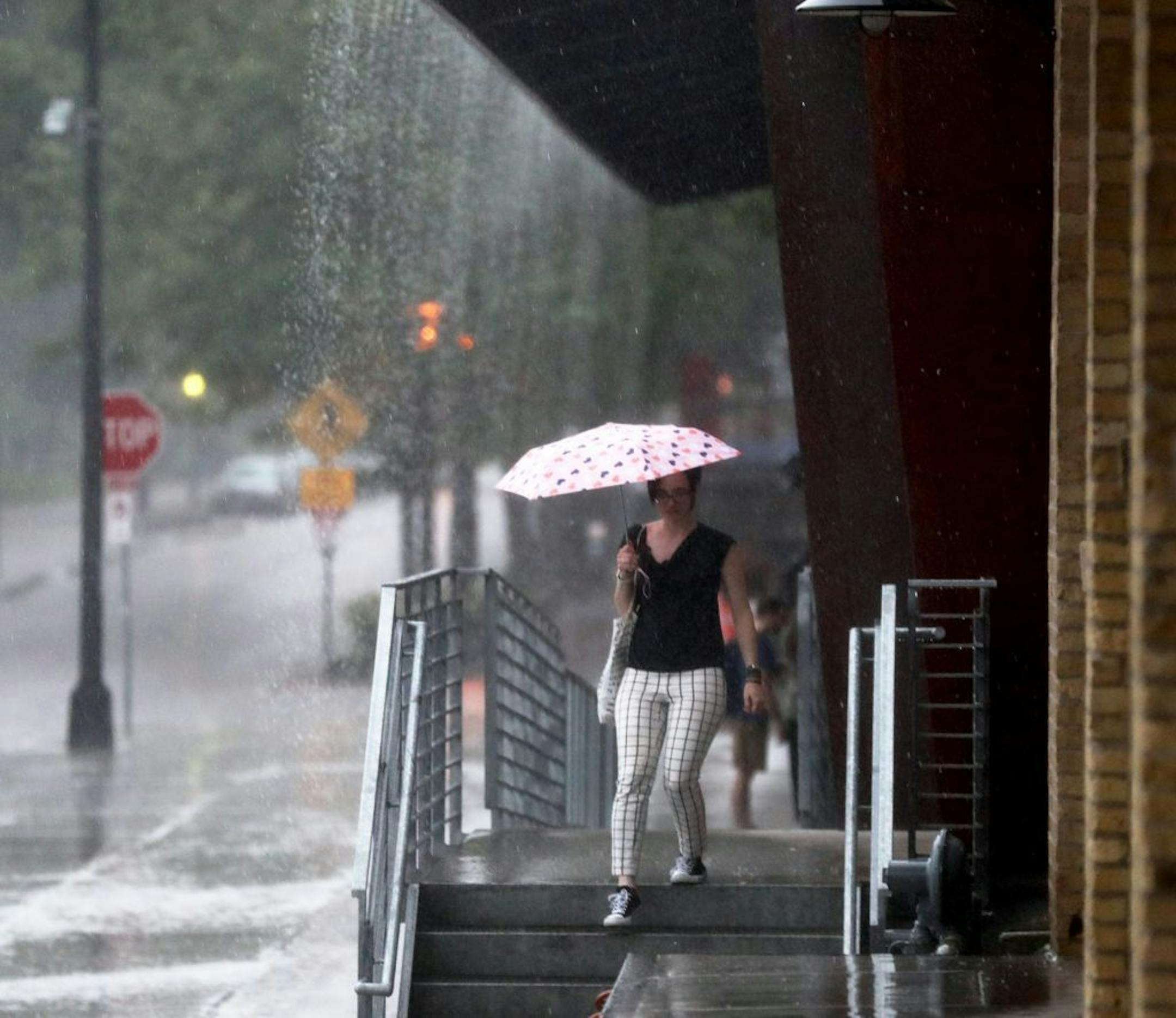
Monday could bring a second round of the severe weather that warranted at least one tornado warning Sunday afternoon.
Hot weather is also likely to stick around, though it won't reach the scorching heat index the Twin Cities felt on Saturday. The high Monday is expected to be 80 and the low shouldn't dip below 70.
Thunderstorms may continue Monday morning followed by scattered showers — a pattern that could continue to play out throughout the week.
Isolated, severe thunderstorms with the potential for heavy rain and hail could move through the area over the next couple days, said Bill Borghoff, meteorologist at the National Weather Service office in Chanhassen.
July 4th may bring more of the same: hot weather and potential storms. More exact forecasts on the location of rain on the holiday will come later this week.
Parts of southern Minnesota, including Hartland, Freeborn, Albert Lea, Twin Lakes and Manchester, were under a tornado warning Sunday afternoon. Rotating wall clouds were spotted in the area. Wind gusts topping 50 mph were reported across the state, including the metro area.
With the recent high heat indexes, the Weather Service is reminding people to take breaks in air conditioning, to stay hydrated and to wear lightweight, light-colored clothing when outside.