The Twin Cities' deepest January snowfall in two years -- all 3 inches of it -- could be mostly a memory after an expected overnight rain and temperatures at or above freezing overnight into Tuesday across southern Minnesota.
Commuters are likely to be confronted Tuesday with fog, road spray and large puddles as warmer air works over the new snow and ice. But to the north and west, the National Weather Service was predicting 4 to 8 inches or more of snow overnight for Fergus Falls, Bemidji, Brainerd and International Falls.
The mix of sleet, freezing rain and snow in the Twin Cities on Sunday was the product of nearly a half-inch of precipitation, a Twin Cities record for Jan. 27 that pushed the January total a flake above average. December precipitation was also above normal.
"We'll take all we can get," said assistant state climatologist Pete Boulay.
After a high near 35 in the Twin Cities Tuesday afternoon, temperatures are expected to drop steadily and reach only into the low teens Wednesday, then hover near and below zero Thursday. Friday morning could bring teens below zero before a Groundhog Day warmup.
BILL MCAULIFFE
8 months in jail for Blaine man who caused 120-mph crash hours after he was caught speeding

Daughter sues St. Paul, two officers in Yia Xiong's killing

Showdown over DEI issues won't lead to Anoka-Hennepin shutdown, superintendent says
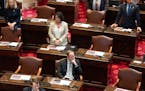
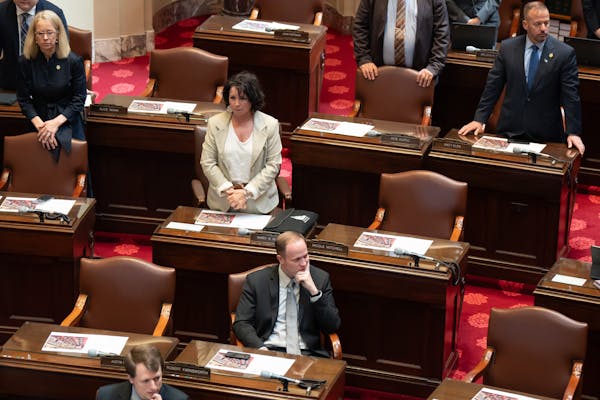
Minnesota Senate GOP files ethics complaint against Sen. Nicole Mitchell