In the 1920s, you could live on the edge of downtown off Park or Portland Avenue S. and never need to own a car. That's because as much as a generation earlier, Park and Portland served as anchors for a swank residential neighborhood south of 10th Street, complete with tree-lined side streets, small hotels, townhouses and high-end apartments for professionals, many of them designed by leading architects.
Well into the 1940s, this part of downtown was very much a neighborhood with networks of long-term residents and nearby cultural institutions, theaters and churches, as well as shops and restaurants.
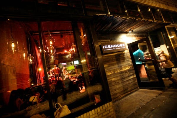
Today, there's little reason to get out of your car, aside from the new Commons park by U.S. Bank Stadium. So many of the once-grand buildings were lost in the postwar flight to suburbia. In their place was left acres of parking lots and drive-though banks.
But a walkable neighborhood is worth bringing back.
And that's what BKV Group hopes to do.
The Minneapolis architecture, interior design and engineering firm has produced a study that details a powerful new vision for this long-neglected area of East Town, which stretches from Elliot
Park to the Armory and the Commons. Called the "Park & Portland: Vision for Development," the study is one of the more pragmatic downtown urban planning studies in years.
It calls for increased density, wider sidewalks to support outdoor cafes and other activities, and a variety of housing options, many of which will be affordable.
It also establishes guidelines for the concentration of buildings, their setback and height, all of which are tailored to the character of the area. And it manages to honor the history by incorporating the structures that have survived, including the Lenox Brownstones at 523 S. 9th St., the Drexel Apartments at 1009 Park Av. S., and the Balmoral Apartments at 1005 Portland Av. S.
While many conceptual plans focus on a single area, such as the North Loop or the Mill District, the Vision reveals how these two streets helped shape the growth of Minneapolis for more than a century — and how we can reweave the mixed-use urban fabric that once existed there.
To do so, the study area was divided into four zones: "The Mill District" (south of Mill Ruins Park), "The Commons" (from Washington to 6th Street), "High Density" (the four blocks nearest the skyway core) and "Medium Density" south of 10th Street. Between 6th and 10th streets, the plan calls for the tallest buildings, generally over 10 stories. The scale then steps down as the avenues move south.
In all four zones, the study calls for a variety of building setbacks to create a more vibrant and pedestrian experience with possible outdoor cafes and street-level retail, especially nearest the Commons and the river. Developer incentives such as density bonuses (building higher than might be normally allowed) can encourage such public amenities.
Creating a 'plus factor'
Guided by the East Town Development Workgroup, the Vision reflects input from more than 60 organizations, businesses and nonprofit groups. BKV contacted dozens of property owners to discuss possible redevelopment of their buildings and vacant lots.
"With all of these open sites, now is the perfect time to bring everyone to the table," said Dan Collison of the Minneapolis Downtown Council. "Planning for these corridors is not about displacing people but creating a 'plus factor' … creating a sense of place and being able to influence business investment."
BKV's architect Chris Palkowitsch also emphasized the study's public input.
"We reached out to the major landowners and had direct meetings to understand their potential vision for their sites," he said. "We also had a few landowners reach out directly to us, wanting to best understand the potential value of their property."
The completed study describes 31 potential development sites, mostly surface parking lots or one-story buildings.
Making real change
The Vision isn't a master plan, like the early 1960s Gateway renewal project that leveled a whole district. It's more organic and long-term, a guidebook for development that occurs as the marketplace and private financing allow.
Any changes in the East Town area won't happen overnight. But the Vision creates a pathway for the next 30 years, one that's not so much government-driven as forged in cooperation with the landowners, institutions and the public.
That makes it one of those rare plans that could actually spark long-term change. The early planning process itself forged new citizen connections and plenty of enthusiasm.
The Vision shows how streets are possibly the most important public spaces in a city. And how, over time, they become the stages from which we experience buildings and other people as we pass through.
"Parks and squares are beautiful public spaces that people photograph and remember," said landscape architect Brady Halverson from BKV, "but streets are the utilitarian public spaces that everyone experiences all the time."
Frank Edgerton Martin is a Minneapolis-based writer and landscape historian.

Get better sleep with these 5 tips from experts

Ex-gang leader's account of Tupac Shakur killing is fiction, defense lawyer in Vegas says
Movie Review: Prepare to get hot and bothered with stylish, synthy tennis drama 'Challengers'
Crew members injured in crash on Georgia set of Eddie Murphy Amazon MGM movie 'The Pickup'