Schyler Martin stood on a frozen Mississippi River a couple of weeks ago, angling for some fish. But on Tuesday, he was leading the Prairie Island Indian Community in its fight to hold back the water.
"We don't know what to expect," Martin, the community's emergency management coordinator, told about 100 employees as they gathered to discuss flood plans.
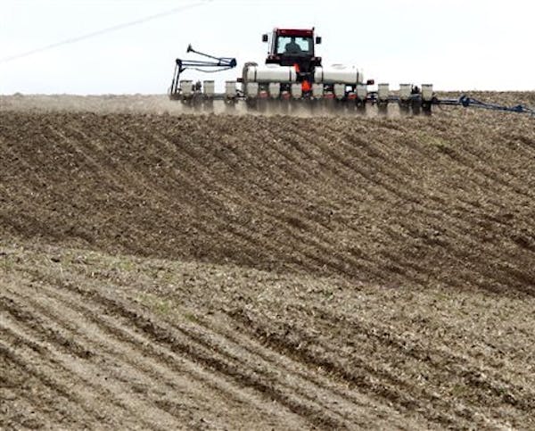
While the winter-weary will celebrate the first day of spring on Wednesday, Martin, along with city officials across Minnesota, are preparing for the worst as temperatures push toward 50.
As the landscape thaws, the threat of significant flooding looms from the Red River Valley in the northwest to the Mississippi basin in the southeast.
The main spring snowmelt has begun in central and southern Minnesota and west-central Wisconsin and will increase through the weekend, according to the National Weather Service (NWS). It issued its first warning that widespread ice jam and snowmelt flooding would increase this week and into next week for all basins in the region.
Nestled between the Vermillion and Mississippi rivers near Red Wing, Prairie Island is accustomed to spring flooding because much of the reservation is in a floodplain. This year, however, the flooding could rival historic levels because of a deep snowpack that blanketed most of state.
"What's going to affect us is [what's] Up North at the headwaters and anything that empties into the Mississippi River such as the snowpack in northern Wisconsin coming down the St. Croix," Martin explained. "There's a lot of snow on the ground, and there's a lot of moisture locked up in that snow. Once it melts, it all has to go somewhere."
Access under threat
Martin's job is to make sure his community is prepared. A threat of massive flooding could close Sturgeon Lake Road — the only road in and out of the community, as well as part of County Road 18. It could also force 160 families who live on the lower island to evacuate and require the tribe to move its herd of 125 buffalo to higher ground. Treasure Island Resort & Casino, which the community owns and operates, is at an elevation that should safeguard it from floodwaters.
But on the backside of the casino, crews built a sand berm on low-lying ground to keep the water back as the river rises. About 2,000 feet of berms will help protect the community's homes and buildings. On Tuesday, volunteers scurried across one of those berms, wrapping it in plastic while others worked at the maintenance shed, shoveling and pouring sand into green burlap bags.
The goal is to fill about 15,000 sandbags — 5,000 more than what the community used in 2011 when the river spilled over its banks.
The Mississippi is now at 673.68 feet, Martin said. By late next week, it could reach flood stage, he added.
As he flipped through a slide presentation at the meeting, he reviewed the various flood stages. For some, the numbers won't matter, he said.
"If we're standing waist-deep in water, we're waist-deep in water," he said. But the numbers will help him decide where to pile sandbags and where to build berms.
Flood history
The tribe has completed projects to reduce flood risks since the historic 1965 flood swamped the island.
Lu Taylor, the tribal council's vice president, was 7 years old when she and her grandmother left their home by boat.
"Half the island was under water," she said. Now, as a tribal leader, she's helping Martin and other leaders prepare for possible flooding.
"It's a waiting game to see how the weather cooperates," she said.
According to the NWS, the seven-day forecast for the region shows daytime highs rising into the 40s and low 50s and nighttime lows in the mid-20s to the low 30s, with scant to no rainfall. When the rivers start flowing, ice and other debris can clog up a channel, causing sudden rises upstream, then surging water downstream after the dam eventually clears.
Thawing groundwater will add to the volume of water.
Meanwhile, the Weather Service in Grand Forks said the weather this week appeared favorable for an orderly melt. The far southern Red River Valley should see highs in the lower 50s but lows below freezing to slow things down.But meteorologists were keeping a watchful eye on next week, when a weather system could produce snow, rain or slush in the Northern Plains.
Staff writer Dan Browning contributed to this report. Mary Lynn Smith • 612-673-4788
8 months in jail for Blaine man who caused 120-mph crash hours after he was caught speeding

Daughter sues St. Paul, two officers in Yia Xiong's killing

Showdown over DEI issues won't lead to Anoka-Hennepin shutdown, superintendent says

Minnesota Senate GOP files ethics complaint against Sen. Nicole Mitchell