Brace yourself.
After digging out from one of the biggest snowfalls this season, Minnesotans woke up Friday to delayed school starts, canceled airline flights, slick roads and a nasty morning commute. And another round of frigid temperatures will smack Minnesotans in the face.
"We may struggle to get above zero late next week," said Chris Franks, meteorologist at the National Weather Service in Chanhassen. "Wednesday night we could be into double-digit cold at minus 15. We're could be running 30 to 40 degrees below normal. It will be the coldest we've seen this winter in terms of how much it is below normal."
And there's no real relief in sight.
"We're going to be pretty cold through mid-March," he said. "It's not going to be January-cold because the sun just gets too powerful in March. But the problem is we have about 2 feet of snow on the ground so we have a lot of work to do to get back up to near normal or above normal. By mid-March, there are a lot of years we have dirty snow or brown ground."
Not this year.
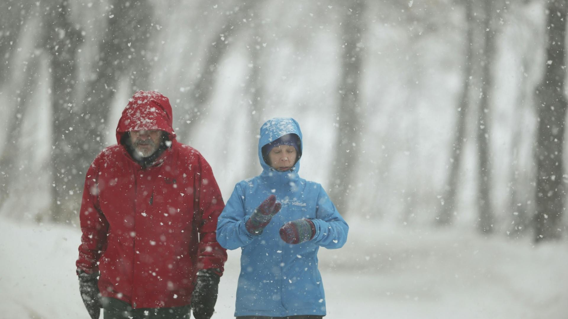
Thursday's storm looked to dump 10 inches or more of heavy, backbreaking snow in some areas of the west metro and close to a foot in the east metro, Franks said.
Travel likely will be challenging Friday morning, said Kevin Gutknecht, Minnesota Department of Transportation (MnDOT) spokesman. Some roads still will be snow-covered, and falling temperatures and gusty winds will make for slick spots even after crews worked through the night, he said.
"People need to leave early and take their time," he said.
The brunt of the storm hit late Thursday afternoon, snarling traffic, closing afternoon and evening school activities, canceling some evening college classes and prompting a string of snow emergencies across the metro area.
White-out conditions in the southwest and south-central part of the state forced MnDOT officials to pull plows off some roads Thursday night and advise no travel for motorists.
"I suspect this will be the biggest snowfall of the winter to date," Star Tribune meteorologist Paul Douglas said. "Plan on significant delays and cancellations Friday morning, with travel slowly improving during the day."
The State Patrol reported 174 crashes between 2 p.m. and 7:30 p.m. Thursday, including one with a fatality, and nearly 400 vehicles that left the road or spun out.
While motorists slid, power lines and tree limbs began falling under the weight of the heavy snow. More than 30,000 Xcel Energy customers were without power late Thursday.
More outages could occur as the winds increase, Xcel spokeswoman Patti Nystuen said. "We've been planning for this and have extra crews ready," she said.
Late starts for schools
School officials prepared for a rough Friday. Dozens of schools, primarily outside the metro area, announced two-hour late starts for Friday morning. Schools in Orono, Jordan and Westonka also delayed the start of school. Others could follow suit with Friday morning announcements.
Late Thursday, Minneapolis school officials were monitoring the storm and hadn't decided whether Friday classes would be affected, spokesman Stan Alleyne said. Families would be notified if school was called off, he said.
Neither Minneapolis or St. Paul schools would call for a late start, "but we expect that some of the buses [in St. Paul] may be running late," district spokeswoman Toya Stewart Downey said. Parents should call the schools for an estimated time of arrival and make sure their children are dressed for the weather, she said.
District teams will drive the streets in search of students who might have missed their buses, Stewart Downey said.
Air travelers also are being advised to call ahead to make sure their flights are scheduled to take off. About 100 flights in and out of the Minneapolis-St. Paul International Airport were expected to be canceled Friday, airport spokesman Patrick Hogan said. That's about half the number that were canceled Thursday, he said.
Winter keeps piling on
As February turns into March, some may believe that winter is just piling on.
To date, the Twin Cities area has racked up 42 days below zero. While that's a lot, it's a ways from the record of 60 days set in 1874-1875, Franks said. Duluth, on the other hand, set a record with 60 days below zero this winter, he said.
As for the snow, a measurable amount has fallen on 36 days so far this season. That doesn't count a trace of snow in October. Before Thursday's storm, the metro area had 47.1 inches on the ground — 8 inches above normal.
The storm even took its toll on the Apostle Islands National Lakeshore, which has been inundated with tourists drawn by the ice caves this winter. With accumulations of 14 to 18 inches of snow predicted for the area, as well as strong winds with gusts up to 40 mph, the National Park Service closed access to the area. Officials hope to reopen it this weekend.
Staff writers Paul Walsh, Tim Harlow and Pam Louwagie contributed to this report.
Mary Lynn Smith • 612-673-4788

Souhan: This is KAT's chance to prove Flip Saunders was right

Mosquitoes are back and so are the workers trying to keep their numbers down
Officials ID teen who died after jumping into southwestern Minnesota lake to retrieve canoe paddle
Charges: Man fatally stabbed woman in neck outside downtown Duluth bar after closing time