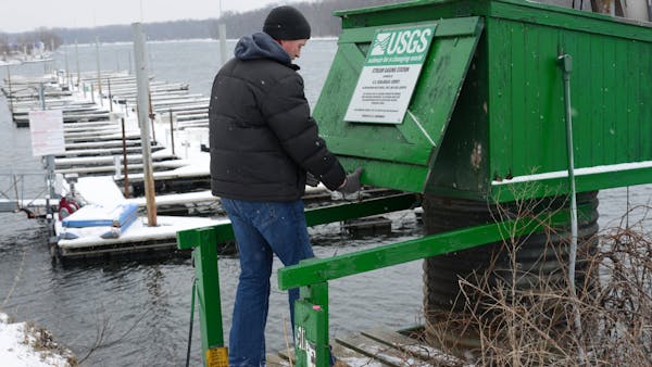
Late winter snows and the potential of a quick, delayed warm-up have raised the chance of significant flooding in the Red River Valley. But years of removing homes, building dikes and making infrastructure improvements mean the risks to communities in the region aren't what they were even two years ago, officials say.
In Fargo, N.D., a volunteer sandbag-making ritual will fire up next week in the face of what the National Weather Service said Thursday is a 50 percent chance the Red River will reach its fifth-highest level on record at Fargo and across the river at Moorhead, Minn. The goal is to stockpile about 1.3 million sandbags — less than half the 3 million that were filled in a round-the-clock push ahead of the record flood in 2009.
"The biggest thing about all of this is the improvements we've made to reduce the number of sandbags needed," said Fargo Mayor Dennis Walaker. "People are getting extremely tired of this."
Fargo has spent $100 million on flood protection since 2009, buying out hundreds of homes in low-lying areas and building about 20 levees. Across the Red River, Moorhead has invested more than $88 million on similar projects in the past four years.
In the outlook issued Thursday, the river was given a 50 percent chance of reaching 38.1 feet at Fargo-Moorhead. Fargo is building its defenses to 42 feet, more than a foot higher than it did for the 2009 record flood.
Moorhead is preparing to assemble 33,000 sandbags, about 5 percent of what it needed only two years ago when the fourth-highest flood on record was on its way.
"We know we're still going to have flooding, but it won't be as devastating as it was in the past," said Kris Eide, director of Minnesota's division of Homeland Security and Emergency Management. Seven homes in Moorhead are vulnerable at the 38.1-foot mark, compared with 160 four years ago.
Rural areas could be hit
Officials noted, however, that damage and disruption in rural areas could be significant. Snowmelt is expected to run across the Red River Valley's extremely flat landscape, damaging roads, bridges and rural residences. Interstate 29 near the river could be affected. The National Weather Service will update the flooding outlook along Minnesota's other major rivers next Friday.
Although southern Minnesota's rivers can hold much more water than the Red, deep snow across much of the central part of the state, including around the headwaters of the Mississippi River, will cause significant rises in the Mississippi, the Minnesota, the St. Croix and other rivers, said weather service hydrologist Steve Buan.
Near the headwaters of the north-flowing Red River, some snow is holding the equivalent of 6 inches of rain, said Greg Gust, hydrologist with the weather service's Grand Forks office, which issued Thursday's update. Some areas of northern Minnesota have 8 inches of water in the snow, Buan said.
Hydrologists have noted that despite extremely dry soils due to a late-summer and fall drought across the region, snowmelt may not be able to penetrate the cold soil without freezing. On the other hand, low water levels in rivers, lakes and wetlands should provide room for some runoff, Gust said.
Best, worst cases
Gust said the worst-case scenario for the coming weeks would be a rapid warm-up with heavy rains, putting a lot of water suddenly on the landscape. The best case would be a slow initial melt, followed by a brief refreeze to allow the initial melt to flow into rivers and downstream, followed by another slow melt.
The 14-day outlook from the national Climate Prediction Center cites no clear trend for temperatures across Minnesota but a strong likelihood of drier-than-normal conditions. The trend for April appears to be wet, particularly in the eastern half of the state.
Thursday's update prompted North Dakota officials to call for congressional approval of a proposed $1.8 billion flood-diversion ditch around Fargo, which Walaker called "the solution" to Fargo-Moorhead's chronic flooding problems.
But residents downstream of the river are protesting about a holding area that would flood homes and farmland in times of high water.
The Associated Press contributed to this story.
Bill McAuliffe • 612-673-7646

Hockey coach with roots in Minneapolis Park and Rec dies at 81

Legal Marijuana Now Party fights to keep its major party status before Minnesota Supreme Court
Officials say man shot 2 months ago in vacant downtown Minneapolis triplex was victim of homicide

Official who helped MSHSL on pioneering ventures dies at 89

